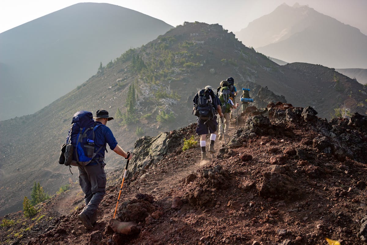
![Off-Roading & 4x4 Trails Near Pagosa Springs [2026 Guide]](/images/attractions/atv-summer.jpg)
Off-Roading & 4x4 Adventures Near Pagosa Springs
The San Juan Mountains surrounding Pagosa Springs contain some of Colorado’s most spectacular and challenging four-wheel-drive roads. From historic mining routes to alpine passes above 12,000 feet, these trails offer access to wilderness areas that few ever see — all within a day’s adventure from our Pagosa Springs vacation rental.
Essential Information
Vehicle Requirements
Most trails require:
- High clearance — SUV or truck minimum
- 4WD with low range — essential for steep sections
- All-terrain tires — puncture resistance matters
- Recovery gear — tow strap, shovel, traction boards
Know your limits: Many San Juan trails are not suitable for crossovers or AWD cars.
Trail Ratings
| Rating | Difficulty | Description |
|---|---|---|
| Green | Easy | Graded roads, any SUV |
| Blue | Moderate | Rocky, rutted, stock 4x4 OK |
| Black | Difficult | Large obstacles, modified vehicles |
| Double Black | Extreme | Winch likely needed |
Top 4x4 Trails Near Pagosa
1. Cinnamon Pass (Moderate)
Elevation: 12,640 feet
Distance: 30 miles round-trip from our cabin
Difficulty: Moderate
Time: 4-6 hours
This historic mining road climbs to one of Colorado’s highest passes. Spectacular views of the San Juan Range and access to ghost towns.
Highlights:
- Animas Forks ghost town
- Alpine tundra above treeline
- Wildflowers in July-August
- Historic mining equipment
Note: Start early — afternoon thunderstorms are dangerous above treeline.
2. Engineer Pass (Difficult)
Elevation: 12,800 feet
Distance: 40 miles (one-way to Lake City)
Difficulty: Difficult
Time: Full day
Part of the famous Alpine Loop, Engineer Pass challenges experienced drivers with:
- Steep shelf roads
- Tight switchbacks
- Rocky obstacles
- Exposure (not for the faint of heart!)
Reward: Views that rival any in Colorado. Connect to Ouray or Lake City for a full San Juan tour.
3. Stony Pass (Moderate)
Elevation: 12,650 feet
Distance: 25 miles round-trip
Difficulty: Moderate
Time: 3-4 hours
Less crowded than Cinnamon or Engineer, Stony Pass offers:
- Solitude and wildlife
- Excellent camping spots
- Access to Continental Divide Trail
- Historical mining ruins
4. Rio Grande Reservoir Road (Easy)
Distance: 35 miles one-way
Difficulty: Easy to Moderate
Time: 2-3 hours each way
Perfect for stock SUVs and families:
- Beautiful river scenery
- Multiple fishing access points
- Campgrounds along the way
- Ends at reservoir with boating
5. Weminuche Wilderness Access Roads
Several forest roads provide trailhead access for:
- Backpacking trips
- Day hiking
- Horse packing
- Fishing high lakes
Check current conditions with the San Juan National Forest office.
ATV and UTV Trails
Pagosa Springs has embraced OHV recreation with numerous designated trails:
Williams Creek Area
- Miles of marked trails for ATVs and side-by-sides
- Varying difficulty from easy cruising to technical climbing
- Scenic views of the Weminuche Wilderness
- Camping available at trailheads
Navajo River Trails
- River valley riding — beautiful and accessible
- Wildlife viewing — elk and deer frequent the area
- Multi-day routes possible with camping
Important OHV Rules
- Street legal required on public roads
- Helmets recommended (required for under 18)
- Stay on designated trails — protects habitat
- Respect private property — much land is private
What to Bring
Vehicle Essentials
- Full-size spare tire (and know how to use it)
- Recovery strap — not a tow rope with hooks
- Tire repair kit and air compressor
- Shovel — for clearing obstacles or traction
- Traction boards (MaxTrax or similar)
- Winch (for difficult trails)
- Extra fuel — some routes are long
Personal Gear
- Water — more than you think
- Food and snacks
- Layers — temperature swings at altitude
- Rain gear — afternoon storms
- Sun protection — intense UV at 12,000 feet
- First aid kit
- Communication — satellite messenger recommended (no cell service)
Navigation
- Paper maps — don’t rely solely on GPS
- Gaia GPS or OnX Offroad — download offline maps
- Forest Service motor vehicle use map (MVUM) — shows legal routes
Seasonal Considerations
Summer (July-August)
- Best conditions — most trails open
- Wildflowers — spectacular displays
- Afternoon thunderstorms — dangerous above treeline
- Start early — off high ridges by 1 PM
Fall (September-October)
- Aspen colors — mid-September peak
- Fewer crowds — after Labor Day
- First snows — possible by late September
- Best weather — stable and cool
Spring (May-June)
- Snow closure — high passes closed until July
- Lower elevation trails may be open
- Muddy conditions — respect trail closures
Winter (November-April)
- Most trails closed by snow
- Lower elevation forest roads may be passable
- Snowmobiling replaces 4x4 for backcountry access
Safety First
Never Go Alone
- Minimum two vehicles for recovery
- Spotter for difficult obstacles
- Communication between vehicles
Know Before You Go
- Check weather — mountain storms develop fast
- Trail conditions — call ranger station
- Vehicle limits — don’t exceed your skill or equipment
Respect the Environment
- Stay on designated routes — prevents erosion
- Tread Lightly principles — pack out all trash
- Yield to hikers and horses — they’re vulnerable
- Respect closures — seasonal wildlife protection
Why Stay at Pagosa Forest Lodge?
Our 4-bedroom cabin is perfect for off-roading groups:
- Ample parking — multiple vehicles and trailers
- Wash station — outdoor spigot for cleaning muddy rigs
- Secure storage — gear and tools
- Relaxation — hot tub after a dusty day
- Strategic location — easy access to trailheads
Features for Wheelers:
- Trailer parking available
- Early departure friendly
- Space to work on vehicles if needed
- Local trail intel from hosts
Book Your Off-Roading Basecamp
Reserve your adventure headquarters →
Or contact us for current trail conditions and local OHV shop recommendations.
Always check current trail conditions before heading out. Forest Service roads can change due to weather or maintenance.
![Altitude Sickness in Pagosa Springs: Complete Guide [2026]](/images/attractions/hiking.jpg)